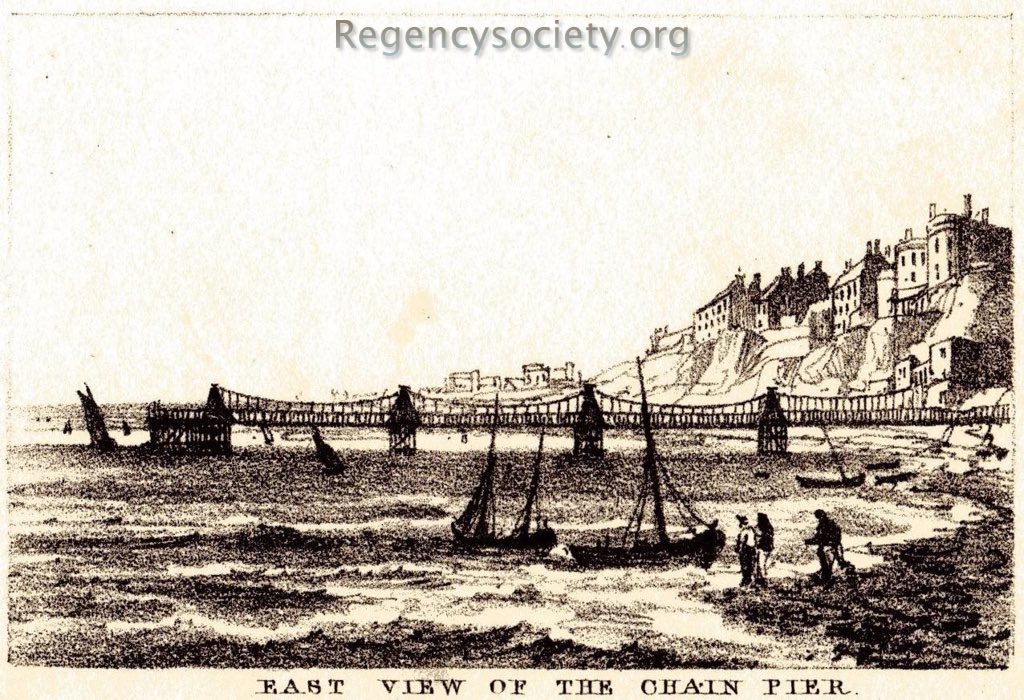
BPC00253
(this is a very small original image – see note on image sizes)
Lithograph from Mogg’s Pocket Itinerary of the Direct and Cross Roads of England and Wales with Part of the Roads of Scotland published 1826.
Mogg’s publishing format was to publish small ‘pocket’ booklets covering specific areas according to where the purchaser wanted.
This view is looking west from the beach below the cliffs, possibly level with the Royal Crescent. Atop the cliffs are the last few houses of Marine Parade, before the land drops down to the Steine. Below the cliffs, on the land end of the Pier, can be seen the Chain Pier buildings that offered visitors and travellers a library and meeting room. A tower was added later, with a camera obscura on top.
See all images of the Chain Pier and read more about its history on the Chain Pier Gallery page
loading map - please wait...