
Category: Maps
Map from ‘Stranger in Brighton’ guide
BPC00003 Map from Baxter’s Stranger in Brighton guide, published 1824, but the map, by W. Belch, is dated 1822. The map shows the west side of Church Hill that is now the residential area of Powis ... Read More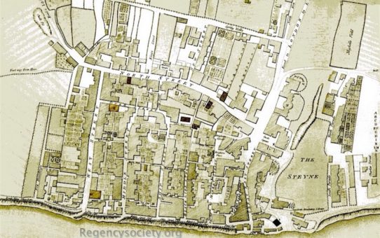
The New and Correct Map of Brighthelmstone
BPC00002 by Thomas Budgen 1788. At this date the route we know as Church Street is called Spring Walk, and Mighell’s Field (to the right of the map) is where Grand Parade will later stand. Today the... Read More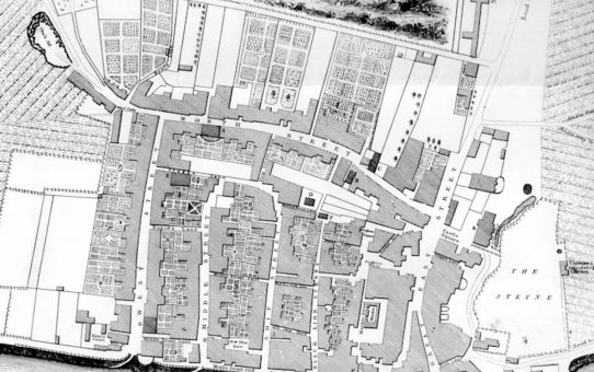
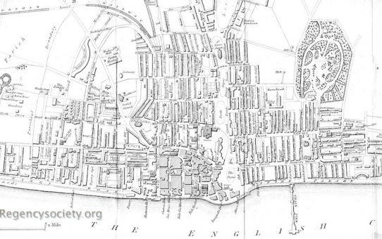
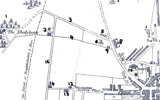
Map of Brighthelmstone
BPC00001 There is a close-up view of this image: click here to see the detail Map of Brighthelmstone surveyed by Yeakell & Gardner, copperplate engraving by Whitchurch, published by R. Thomas, Bri... Read More- 2 of 2
- « Previous
- 1
- 2