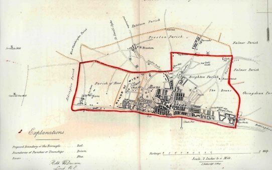
Brighthelmstone. From the Ordnance Survey 1831 Posted on 21st February 20179th November 2017 by Mary McKean BPC00130 Map drawn by Lieut Robert K Dawson of the Royal Artillery, dated 1831. In the centre of this map is the identification ‘Church Hill’. Just above the word ‘Church’ is depicted a windmi... Read More