
Hover over the image to view
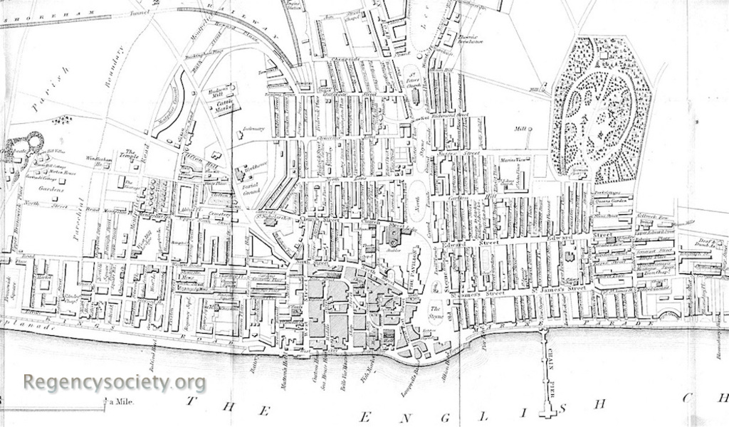
Published in W Saunders’ Stranger’s Guide to Brighton, being A Complete Companion to that Fashionable Watering Place and The Rides and Drives in its Vicinity. Published 1850.
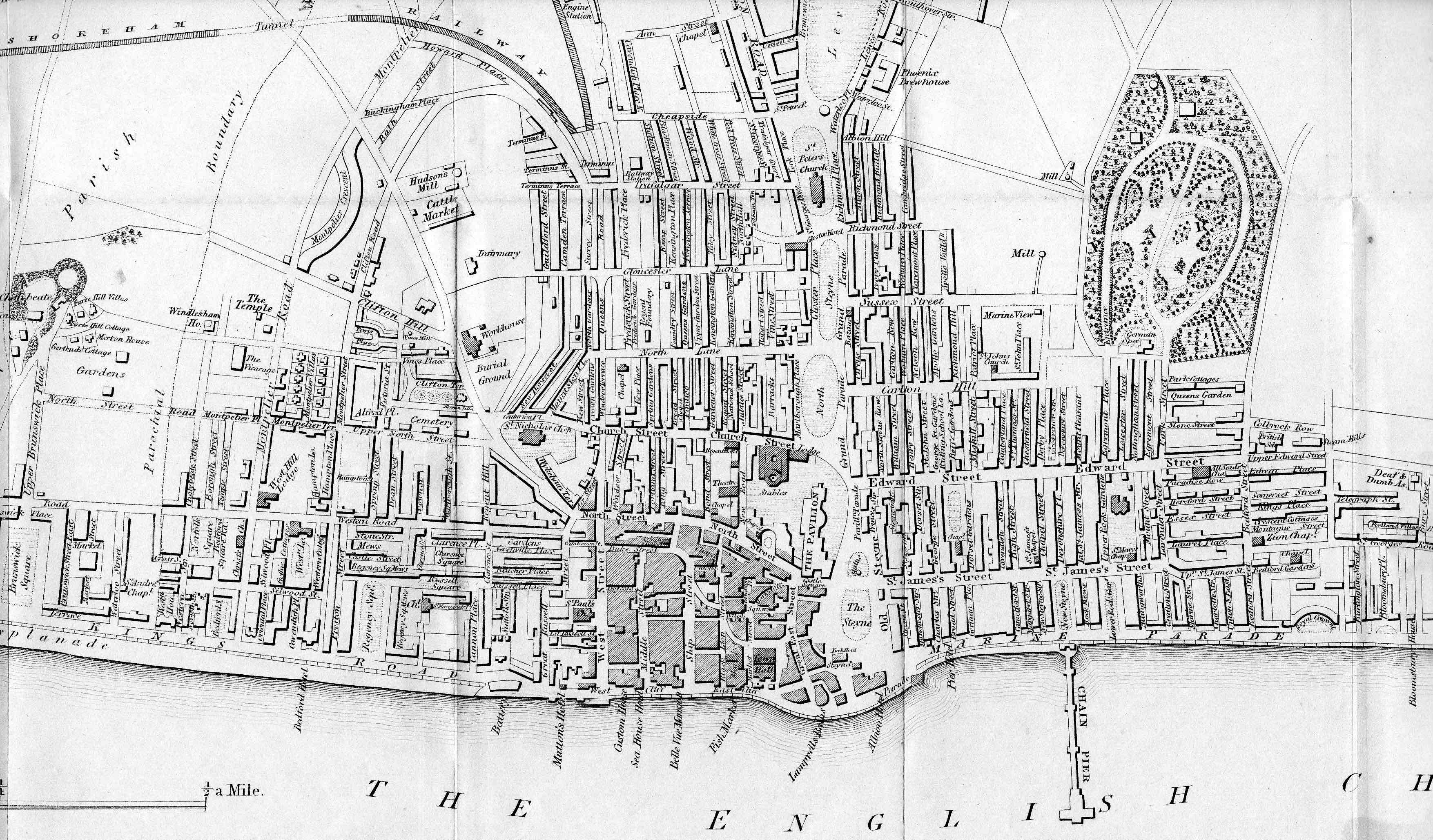
By this date the map shows the new roof on the railway station, Queen’s Road is in place and the looping road referred to in BPC00005 can be followed into the newly named Clifton Road and Montpelier Street. The part of Clifton Road where it is named on the map is now Compton Avenue, and today a much shorter Clifton Road continues on the other side of Clifton Hill.
View the main entry for this image