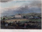
BPC00400
Aquatint engraving, published in C & R Sickelmore’s Select Views of Brighton, c1829 and in their Descriptive Views of Brighton, c1830.
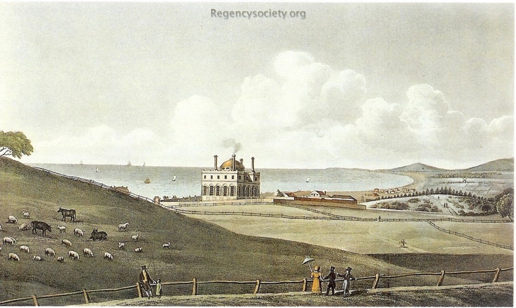
In this view of the Temple, Church Hill with cattle and sheep grazing on it is shown rising on the left, and we are viewing the hill’s northern slopes, as it climbs to the highest point where Albert Road and the Children’s Hospital are later built. In the distance to the right of the Temple are the gardens laid out around the chalybeate spring, now St Ann’s Well, with the fir trees on its far side. The flat plain of open downland in the centre is now Montpelier Crescent, Denmark Terrace and part of Clifton Road, while the road to Blatchington, later Clifton Hill, runs just the far side of the hill. These flat fields were used as the Temple Fields Cricket Ground before Montpelier Crescent was built in the mid 1840s. Once the railway arrived, Buckingham Place was built this side of the hill, before descending to the station, and the road to Steyning, now Dyke Road, is unseen in the dip of the landscape behind the hill. The artist was standing on the highest point where Howard Place is now, before the railway cutting was dug, and the figures by the fencing in the foreground are close to where Buckingham Place now runs. Within thirty years of this engraving, all this open space was covered in housing and the view no longer existed.
Illustrated in The Victorian Development of the Clifton, Montpelier and Powis Estates of Brighton by Steve Myall. Pomegranate Press, 2008, p 79.
Images of Brighton 1043 and illustrated opposite page 112.
See all images of mansions and villas
loading map - please wait...