
BPC00001
There is a close-up view of this image: click here to see the detail
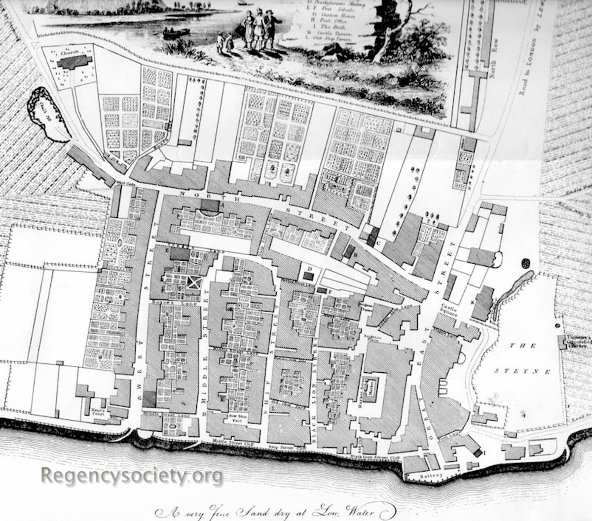
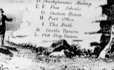
Map of Brighthelmstone surveyed by Yeakell & Gardner, copperplate engraving by Whitchurch, published by R. Thomas, Brighthelmstone, June 1779. Published with a small panorama of the town, taken from out at sea, at the base of the map itself. There is a comment regarding the beach: ‘A very fine sand dry at Low Water’. The road into Brighton town centre from the north cuts straight through what was to become the Pavilion Estate and is continuous into Great East Street. The original farmhouse that the Prince of Wales bought through Louis Weltje is where the Pavilion now stands – it is represented by a rectangle with two small bay windows on its eastern side, together with a circular line on its eastern front – its garden fence.
All maps: (click on image to see the full entry)
View all galleries on the galleries page
Hover over the image to see the image number followed by the date when the image was produced.
Click on any image to see its full entry.


